
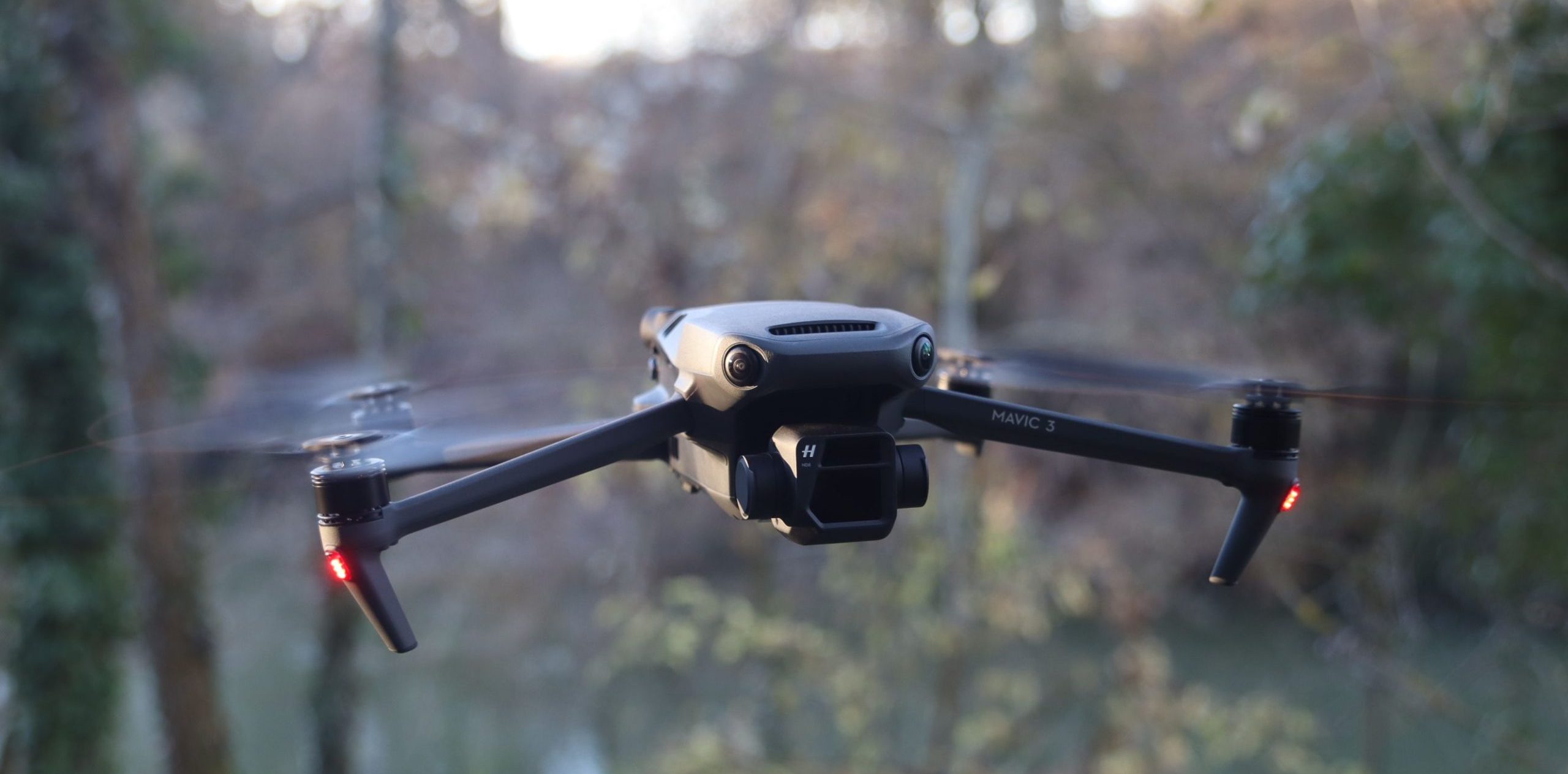
How Unmanned Drones Mapped ~65,000 Villages in 5 Indian States
The surveillance of large tracts of land is highly difficult when using traditional methods. Unmanned drones may hold the solution to this problem.
Updated on: 30 September 2026

Sector
Others

Solution
Quality Control

Technology

State of Origin
Disclaimer:
Features ‘as is’ submissions and neither constitutes endorsement, certification, recommendation, or validation by NITI Aayog nor makes NITI Aayog liable in any manner.
Impact Metrics
250–1000 acres covered
in a single drone flight.
5 cm accuracy
of mapping as per GPS.
2 million+ data points
collected when mapping a given location.
Across the world, drone technology is being recognized for the benefits it brings in terms of mapping and surveillance. Once restricted to military operations, drones are now capable of commercial applications in multiple sectors.
However, in India, the regulations and commercialization of drones have not yet reached a mature stage. Since they have not been featured in large-scale viability studies, many clients do not understand how to evaluate their utility and are hence hesitant to adopt them.
Drone manufacturer Aereo addresses this issue from a different angle. Rather than selling drones as standalone products, it offers packaged surveillance services that incorporate unmanned drones, drawing clients in with quantifiable impact metrics. Founded by Vipul Singh and Suhas Banshiwala in 2013, this Bengaluru-based startup has increased operational efficiency in not only the mining sector but also government-led mapping schemes.
Features of Aereo’s drones
All drones designed and manufactured by Aereo are completely autonomous, requiring only geographical coordinates before they can start aerial mapping. The startup has two main drone models: a multi-copter model with four rotors and a hybrid model, which can cover 250 and 1000 acres in a single flight, respectively. These drones can operate in varying terrain and weather conditions.
Both models are fully equipped with both high-resolution cameras as well as high-precision positioning instruments. These instruments can detect the locations of drone photographs, which are taken every 2 cm of the ground, with an accuracy of ~5 cm on the GPS.
Once the photographs have been taken, they are used to form 3D maps of the target location and uploaded to Aereo Cloud, where they can be accessed by various members of the client organization. To facilitate faster information access and exchange between client teams, the cloud’s embedded AI tools construct user-friendly reports from the collected datasets. These tools flag any concerns or deviations from standard client workflows. This benefits not only production but also planning, safety, and environmental compliance departments.
The primary application of these drones is in the mining industry, where clients use them for topographic surveys to record the volumes of excavations and track structural integrity from the air. However, Aereo has also provided its services in the construction industry and several land record digitization initiatives.
Dissemination of the drones
The years 2013–15 saw the early stages of research and development for Aereo, with the startup focusing on designing and validating drone prototypes. At the time, mentoring and funding came from IIT Kanpur’s incubation center.
Following investment from 3one4 Capital, StartupXseed Ventures, and some High Net Worth Individuals (HNIs) in 2015, it went on to acquire some other drone photography companies and then identify mining as a priority sector for commercialization.
Today, Aereo’s clients span most of India’s major mining conglomerates, including Adani Mining, Tata Steel, UltraTech Cements, Coal India, NTPC Limited, and GSW Mining. The startup is also present in the Middle East, Brazil, Indonesia, the USA, and Australia.
In addition to mining clients, Aereo has worked closely with the Indian government to facilitate large-scale land surveys to digitize cadastral records. It has mapped over 70,000 square km in Karnataka and the entire state of Haryana. As a partner in the SWAMITVA scheme in 2021, it mapped ~65,000 villages in Madhya Pradesh, Uttar Pradesh, Maharashtra, Uttarakhand, and Rajasthan.
Why use these drones?
Aereo’s drones offer tangible benefits in terms of time savings and high accuracy for its clients, particularly in mining. Mapping a mine without drones can take up to a week, and comes with an accuracy of 80–85% and error rate of 10–15%. On the other hand, clients using Aereo drones can complete the process in about two days with a mapping accuracy of >95% and error rate of barely 3%. This is largely because drone-based surveys can collect over 2 million data points, allowing high granularity on the mapped sites.
Moreover, Aereo remains one of the few global companies that offers comprehensive drone-based service packages, combining indigenous hardware products and an AI-powered intelligence layer. With 16 patents, and partnerships with international entities such as mining software giant Datamine, it has demonstrated the reliability and novelty of its solutions.
Expanding the drone ecosystem
Aereo recognizes that there have already been efforts to recognize and regulate the application of drones in various economic sectors. A large part of these efforts come from the Drone Federation of India (DFI), started in 2018 and chaired by Vipul Singh, which works with the Indian government to develop standards for drone manufacturing and operation.
The main bottleneck facing drone technology, and deep tech more generally, is that it has a long maturation period with high capital requirement. Countries such as China have already built the physical and financial infrastructure to support innovation in drones, but India has yet to establish the same.
Policymakers can address this challenge by making capital more easily available—not only through direct grants but also by normalizing longer ROI cycles for venture capital. Rather than pushing deep tech startups to scale rapidly, governments can assign them smaller but more frequent growth milestones and pilot tests. By doing this, they can enable innovators such as Aereo to build greater confidence within the market and bring the benefits of drone surveillance to more high-stakes sectors.
Share Your Story Today, Shape Viksit Bharat Tomorrow
Got an idea, innovation, or experience that's making a difference? Share your story now and ignite India's transformation because your voice can drive the future forward!
Disclaimer:
Features ‘as is’ submissions and neither constitutes endorsement, certification, recommendation, or validation by NITI Aayog nor makes NITI Aayog liable in any manner.
Resources to Replicate This Idea
BUILD YOUR OWN INTERVENTION
Handpicked stories tailored just for you
Explore stories that inspire, inform, and ignite new ideas across tech, innovation, and real-world impact


Powering India’s Digital Future Through AI, Semiconductor Innovation, and Human-Centred Governance
NagpurAI Infrastructure Labs is building an indigenous frontier-tech ecosystem spanning AI computing, semiconductor design, and aerospace manufacturing. Through its AP-DGI...
Read More