(Part II) From Soil to Sky: The Role of Frontier Technologies in Precision Agriculture
A new cohort of Indian startups is harnessing drones, aerial imaging, and AI-powered analytics to revolutionize farm monitoring, crop health assessment, and yield forecasting. These technologies enable farmers and institutions to detect threats early, optimize inputs, and plan with precision—ushering in a new era of aerial agronomy.
Updated on: 19 June 2023

Sector

Solution
Technology

State of Origin
Impact Matrics
15 million+ hectares
mapped using drones and precision agriculture.
30,000–40,000 farmers
supported with 40% yield improvement in mint.
60-80% reduction
in chemical and water use.
₹3,600 per acre
saved in pest control costs.
Eyes in the Sky: How Drones and Aerial Intelligence Are Transforming Indian Farming
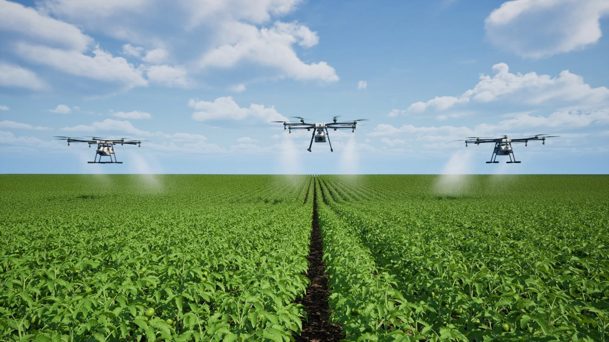
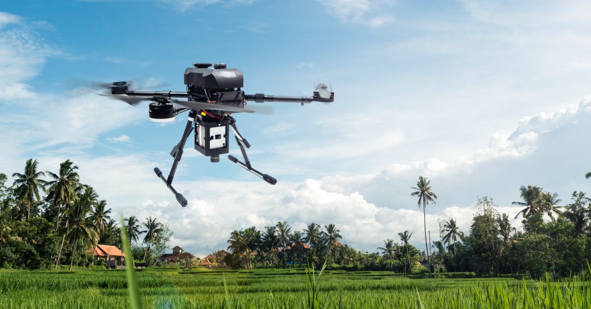
If precision agriculture once depended on what farmers could observe on foot, today it’s just as likely to involve what they can see from 120 meters in the air. Drones, hyperspectral imaging, and remote sensing are rewriting the playbook of how India monitors, manages, and forecasts agricultural performance.
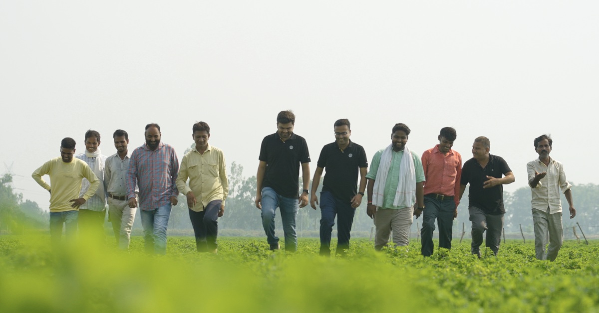
A cluster of pioneering startups—Agrotech Risk, BharatRohan Airborne Innovations, TRITHI Robotics, and Agrowave—are putting powerful aerial tools in the hands of farmers, insurers, and governments. Their frontier tech solutions deliver fast, accurate, and cost-effective insights into field conditions, transforming decisions from reactive to – proactive.
From risk to resolution: Why aerial intelligence matters
For most Indian farmers, identifying pests, nutrient deficiencies, or irregular crop growth is often too late—and too expensive. Ground inspections are time-intensive, manually limited, and susceptible to human error. This delay leads to yield losses, input inefficiencies, and poor insurance outcomes.
These startups bring clarity and speed to the field:
– Agrotech Risk Pvt. Ltd. uses AI-powered drones and its proprietary CLASS (Crop Loss Assessment Support System) to monitor large land parcels, forecast yields, and conduct post-disaster damage assessments with over 85% accuracy.
– BharatRohan Airborne Innovations deploys hyperspectral imaging drones to detect crop stressors—like fungal outbreaks or water stress—well before they are visible to the human eye, especially in crops like mint and pulses.
– TRITHI Robotics builds and operates RPAS (Remotely Piloted Aircraft Systems) with custom payloads for spraying, GIS surveying, and disease detection. They also train rural youth to operate drones, enabling last-mile delivery of aerial services.
– Agrowave, though logistics-focused, uses real-time mapping algorithms to route mobile pickup stations to farms for procurement. Their platform merges transport data with farm-level aggregation to shorten farm-to-mandi turnaround.
Each of these ventures supports India’s National Drone Policy, Digital Agriculture Mission, and Crop Insurance Scheme (PMFBY), ensuring smarter risk mitigation, streamlined resource use, and greater trust in digital systems.
High-impact interventions
The scale and precision of these technologies yield tangible benefits:
– Agrotech Risk has mapped over 15 million hectares and supported 30,000–40,000 farmers with actionable insights across 12+ states.
– BharatRohan has improved yield in mint crops by 40%, reduced agri-input usage, and saved farmers ₹3,600 per acre in pest control costs.
– TRITHI Robotics has covered 6,000+ acres across 30 crop types, cutting chemical and water usage by 60–80%through ultra-low-volume drone spraying.
– Agrowave’s algorithms reduce farmers’ mandi visits and enable farmgate sales, boosting convenience and price realization.
– What unites them is a shared commitment to hyper-scale mapping, preemptive alerts, and remote access to crop intelligence, with minimal labor dependency.
Built to scale across landscapes
Drone and aerial platforms are modular by design and scalable by infrastructure. These technologies can be deployed across:
– Large institutional farms, seed production units, or contract farming zones
– Government schemes for disaster assessment, PMFBY audits, and land record digitization
– Climate-resilient farming in rainfed and flood-prone regions
– Even non-agri sectors like forestry, aquaculture, mining, and infrastructure monitoring
Their ability to integrate with GIS systems, weather models, and remote dashboards makes them ideal for data-intensive governance.
Elevating Indian agriculture
Drones and aerial intelligence represent a leap forward not just in how we farm, but in how we perceive farming itself. These innovations shift agriculture from reactive to predictive, from manual to autonomous, and from uncertain to insight-driven.
For Indian agriculture—diverse, fragmented, and climate-vulnerable—this shift is not just welcome, it is urgent. With frontier startups leading the way, the view from the sky is no longer a luxury. It’s becoming the new baseline for precision, resilience, and transformation.
Sources:
Share Your Story Today, Shape Viksit Bharat Tomorrow
Got an idea, innovation, or experience that's making a difference? Share your story now and ignite India's transformation because your voice can drive the future forward!
Resources to Replicate This Idea
BUILD YOUR OWN
Do you want to know how this innovator scaled their idea, how much it cost them, and what resources/partnerships they deployed?
How can I implement this innovation effectively?
How is this innovation being adopted around the world?
Where else could this innovation make an impact?
Who has seen real results from using this innovation?
What insights do experts share about this innovation?
What policies support or influence this innovation?
How could this innovation evolve in the future?
Is this innovation accessible and inclusive for everyone?
How can I contribute to or participate in this innovation?
What resources can help me explore this innovation further?
Handpicked stories tailored just for you
Explore stories that inspire, inform, and ignite new ideas across tech, innovation, and real-world impact

Maharashtra’s First 3D-Printed School Cuts Construction Time By 6X, Waste By 95%
Cretebots, an Indian startup, uses robotic 3D construction printing to build structures layer by layer on-site — completing buildings 6...
Read More